

As a 24/7 working broadcast facility, Sutro Tower has remained off-limits to public visitation since it was christened in 1973. In 2024, the tower, in partnership with the City of San Francisco, asked Stimulant to chronicle, capture, and tell its complete story to honor its 50th anniversary and satisfy the curiosity of local residents and tower fans worldwide.
A year of complex planning was required to capture over 14,000 drone photographs and a full LIDAR scan of the entire facility in a narrow weather window, enabling creation of a hyper-detailed digital twin. Technical photographers and videographers climbed to insane heights to shoot ultra-high-resolution images of the surrounding landscape, and producers sifted through 50 years of archives.
Explore Sutro Tower takes visitors on a virtual tour over, around, and through the facility, lets them travel to the very top of the tower to take in jaw-dropping interactive panoramas and traverse 1300-foot high catwalks that connect the tower’s three legs, gives a history lesson with "Above the Fog" — a short documentary video — and shares 50 years of historical photos.
Given the off-limits nature of the facility, the virtual tour needed to provide access to areas that wouldn’t be possible even on a physical tour. Cutting-edge 3D digital reconstruction techniques enabled creation of a digital twin of the tower, allowing tourgoers to fly around and through the tower and support structures as if on a magic carpet. Clickable hotspots provide deeper dives into key technologies and additional media for the insatiably curious.
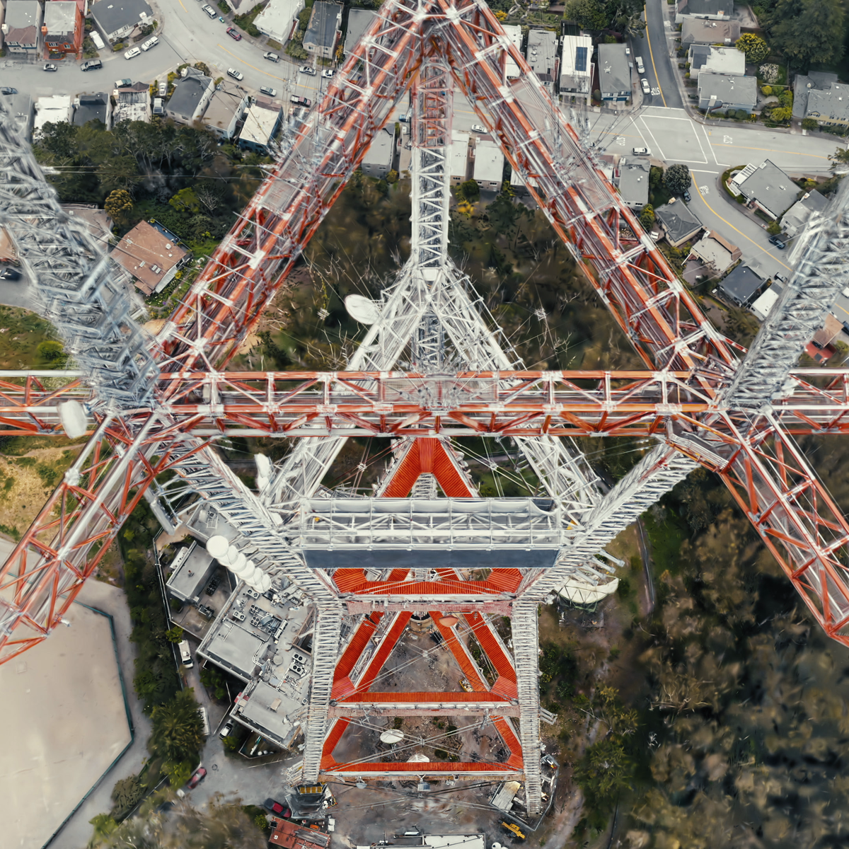
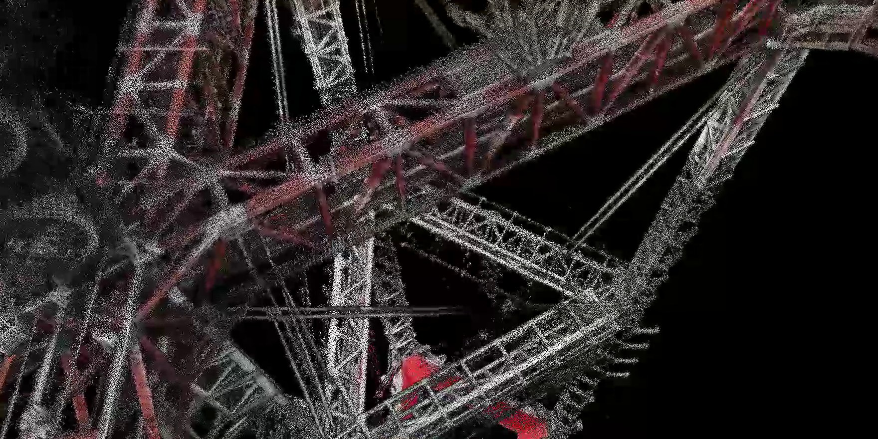
More than 14,000 drone photographs and a full LIDAR scan, captured in a narrow weather window, became the raw material for the digital twin.
Sutro Tower is both a 50-year old structure and a state-of-the-art broadcast facility. Its unique shape is visible from any point in San Francisco (foggy days notwithstanding), but getting up close has never been possible. Our goal was to create the next best thing to a physical tour, with the added benefit of being able to fly around as if on a magic carpet, so we set out to create an ultra-high-resolution digital twin that would capture every detail of the tower. This entailed nearly a year of complex planning, scheduling, and negotiating broadcast and weather limitations. In the end, over 14,000 drone photographs and a full LIDAR scan were captured from every elevation and angle.
Once captured, the photos were processed, aligned, and digitally reconstructed using a machine learning technique known as "Gaussian Splatting" — a way to make a 3D scene by using blurry dots that combine together to form smooth, realistic images. This provided us with a photorealistic digital twin that could be navigated in ways that neither drone nor human could achieve. The result is cinematic and breathtaking.


Shot from the top of Sutro Tower during a rare break in the fog, the gigapixel panorama reveals landmarks as far away as the Farallon Islands and San Jose.
Careful planning (and a golden window from the fog) helped to create the highest-resolution panoramic gigapixel photos of the surrounding landscape, taken from the highest ground-based point in San Francisco. Locals and SF fans worldwide can see landmarks and scenery they may have never before seen from the city, including the Farallon Islands and San Jose.
Above the Fog is a short-form documentary that looks at Sutro Tower from a variety of perspectives — historically, functionally, and culturally. Hosted by a local news anchor, it tells the story of Mt. Sutro and the creation of the tower, from the time of indigenous people to the modern day, along with the stories of those who love it or loathe it. It features recently-unearthed archival footage, along with interviews from those who built it, those who opposed its building, and the workers that keep it functioning safely 24/7/365.


Construction, events, and behind-the-scenes photos spanning five decades are now public — and free to download.
Sutro Tower was sitting on a veritable mountain of archival photos (located atop the mountain upon which Sutro Tower itself sits). We scanned and organized 50 years of photos — including behind-the-scenes shots of its construction, events through the ages, and never-before-seen views of San Francisco in the seventies and eighties — into a custom image gallery. For history buffs, it’s a magical resource, and for creative types, every photo is available royalty-free for download.
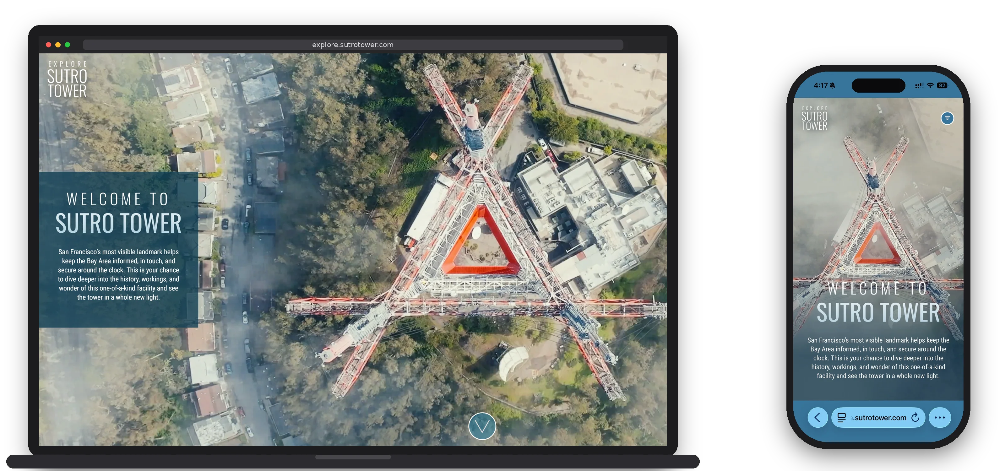
Sutro Tower’s unique shape and visible-from-everywhere location in the city has prompted many rumors and speculation as to its purpose over the years. The site explains its true raison d’être as a broadcast facility and critical part of San Francisco’s communications infrastructure, answering questions about why it exists, the reasoning behind its design, and how it works. The content is freely available for local tour guides, libraries, and other groups to use.
Visit explore.sutrotower.com →


